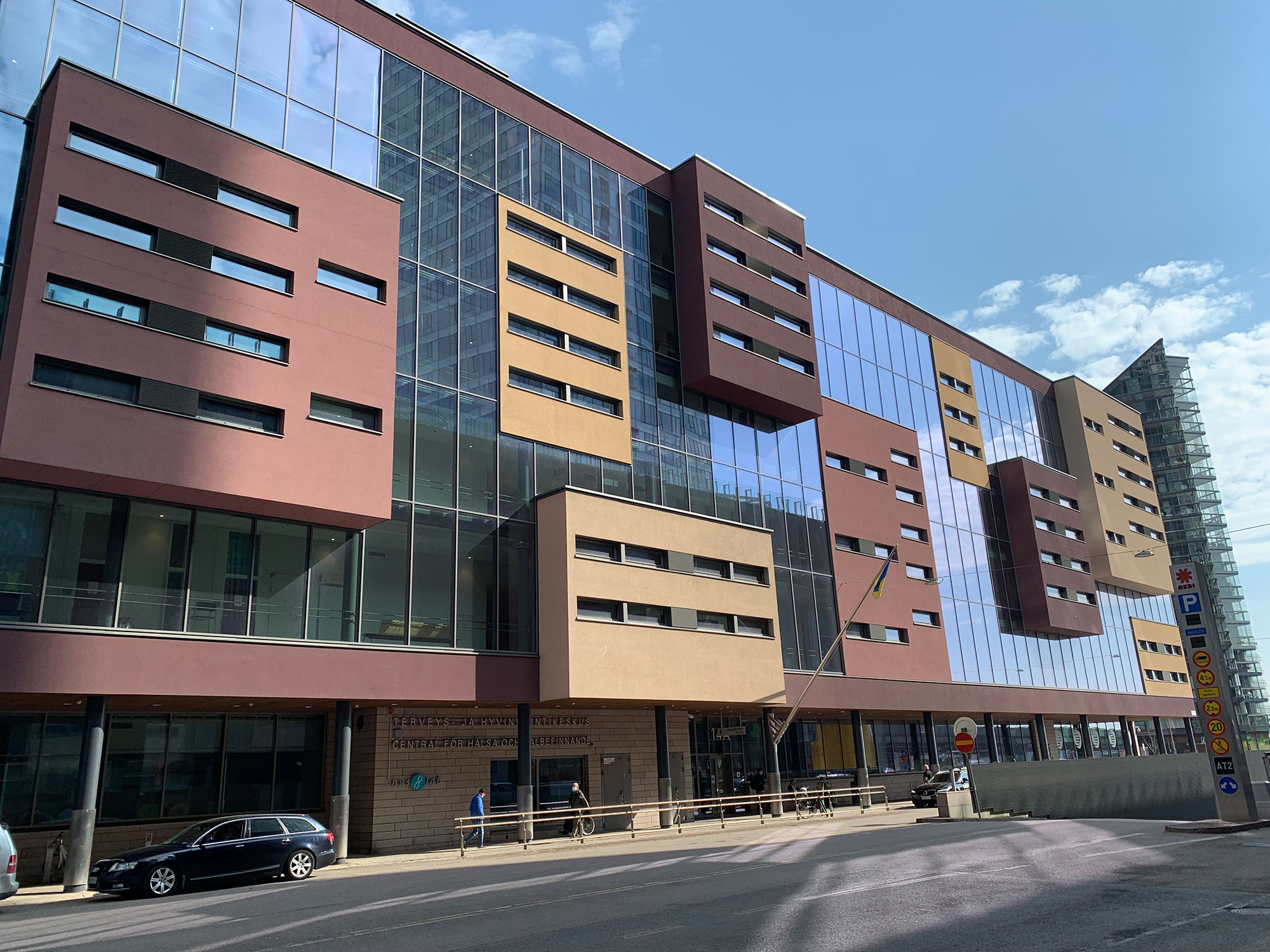
Kalasatama health centre is a 17 034 sqm complex in fast evolving area in Helsinki. The building consists of 6 floors of doctors’ consultation rooms and other offices.
Problem
The area of Kalasatama in Helsinki is evolving fast. New streets are being built, public transport lines are constantly changed and maps are not staying on top of the situation. Visitors of the health centre cannot even find the entrance of the building, not to mention navigation inside it.
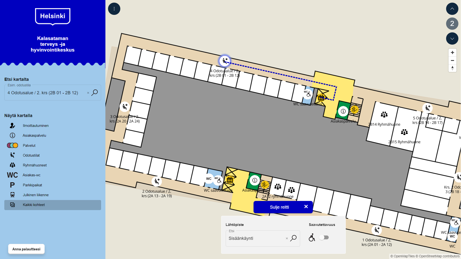
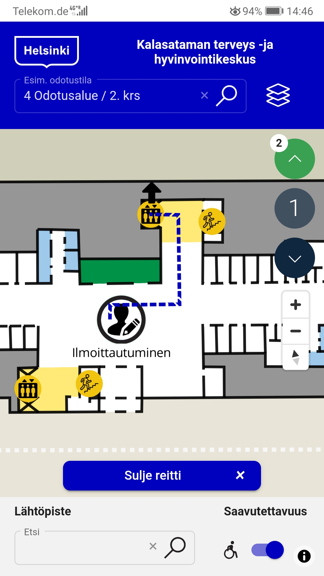
The Health centre needed a solution that helps visitors navigate both outdoors and indoors, allowing them to find the smoothest route to their appointment.
Solution
A web-based interactive map for the venue and its surroundings was developed in the matter of a couple of weeks. No separate installations or integrations were needed for the project. The map scales both for mobile and for larger screens, and users can access it directly from their own device. Nearby public transport connections, parking areas and bike parks were also included in the solution.
Extensive user feedback was collected during the project to assess how useful visitors are experiencing the solution. Large majority feels that digital maps like this are very useful to have of public venues, especially what it comes to visitor groups with special needs.